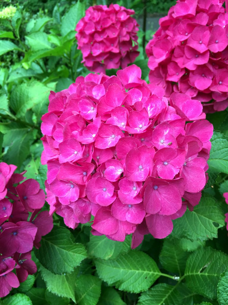
The Izumi Mountains are located in the southernmost part of the mountains surrounding the Osaka Plain. It borders Wakayama prefecture and is located on the north side of the Median Tectonic Line (the world’s first major fault that crosses southwestern Japan from eastern Kyushu to Kanto) that passes through the Kinokawa River. There are four Mt. Katsuragi in this mountain range, from the east to Mt. Yamato Katsuragi (959m), Mt. Izumi Katsuragi (858m), Mt. Minamikatsuragi (922m), and Mt. Nakakatsuragi (937m). All of them are mountains named after Katsuragi, a great tribe who ruled this region in ancient times. There is a village of Sobura at the northern foot of Mt. Izumi Katsuragi. Now it’s easy to reach by car, but until a long time ago, this was a remote mountainous area that I couldn’t think of as Osaka. There is Mizumadera Kannon nearby, and it is now a resort area with hot springs and various facilities. There is a mountain cottage-style restaurant in the deepest part. The clear stream flowing from Mt. Minamikatsuragi and the hydrangea grown in the clear air were different.
大阪平野を囲む山脈の内、いちばん南部に和泉山脈があります。和歌山県と県境を接していて、紀の川を通る中央構造線(西南日本を九州東部から関東へ横断する世界第一級の大断層)の北側に位置します。この山脈には四つの葛城山があって、東から順に大和葛城山(959m)、和泉葛城山(858m)、南葛城山(922m)、中葛城山(937m)です。いずれも、古代にこの地方を支配した大豪族、葛城氏の名を冠した山々です。その和泉葛城山の北麓に蕎原(そぶら)集落があります。今でこそ車で簡単に行ける様になりましたが、ひと昔前までは、ここが大阪とは思えないほどの山間僻地でした。近くには水間観音があり、今では、温泉や様々な施設が整ったリゾート地になっています。そのいちばん奥まった所に山荘風のレストランがあります。南葛城山から流れてくる清流と澄んだ空気に育まれて育った紫陽花はやはり違いました。
